https://www.scoop.co.nz/stories/AK2509/S01009/dont-get-caught-out-by-spring-snow.htm
|
| ||
Don’t Get Caught Out By Spring Snow |
||
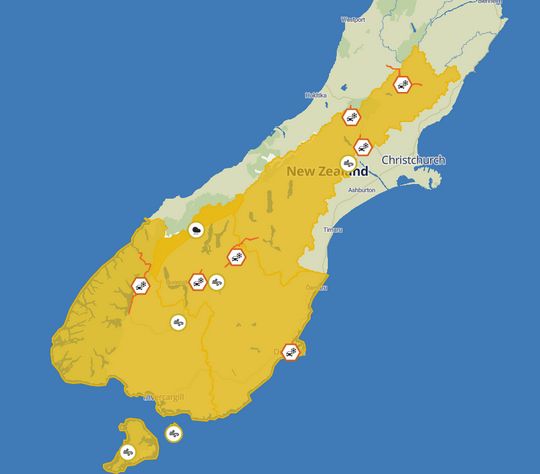
Snow to relatively low levels in Southland and Otago has the potential to catch out road users tonight and tomorrow.
New Zealand Transport Agency Waka Kotahi (NZTA) is urging people to keep a close eye on the weather and to drive with extra care when snow and ice is on the roads.
After some recent warm spring weather, MetService says colder air will bring sleety showers to low levels in Southland and Clutha in the morning, with a noticeable wind chill: “These areas in the south may see snow down to 300 metres, but likely falling even lower in Southland”, it says.
Strong northwesterly winds today, which have promoted a strong wind watch from MetService for Otago, Southland, Fiordland, Stewart Island, and the Canterbury high country, are expected to make way for a cooler air mass brought in by southwesterly winds and frosty mornings across the South Island through to Friday.
Road users are encouraged to adjust their driving to the winter-like conditions: make sure you are visible, reduce your speed, adjust your travelling distance behind other motorists and avoid sudden braking or turning movements.
People can plan ahead by visiting our Journey Planner site, and helpful tips about driving in “winter” conditions can be found here.
Home Page | Auckland | Previous Story | Next Story
Copyright (c) Scoop Media