 Scoop has an Ethical Paywall


Tairāwhiti Elevation Data Released
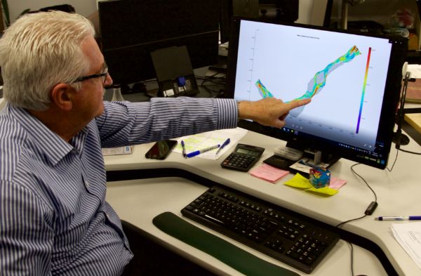
Data from the Tairāwhiti/Gisborne district LiDAR project that will enable better erosion and flood hazard management in the region is now available on the LINZ Data Service (LDS).
Gisborne District Council received funding from the Ministry for Primary Industries (MPI) Erosion Control Funding Programme and Toitū Te Whenua Land Information New Zealand (LINZ) to develop a high accuracy regional elevation model of the entire district using airborne LiDAR surveying.
Council has already started using the data to work on revised flood hazard mapping for the Taruheru and Waimata River systems, using the high-resolution LiDAR data to define the ground surface more precisely and enable the development of a more reliable flood hazard model.
It has also been used as a gravel management tool in a recent project assessing the gravel resources in the Waiapu River system. It highlighted areas where gravel extraction has resulted in increased erosion and areas where the river is aggrading.
The data has also helped Council to get a better understanding of landslide risk in Gisborne’s hill suburbs and changes to sediment loads in the Waipaoa Catchment.
“Access to this level of rich data for Tairāwhiti is a monumental achievement as it covers the entire district. This is the first time the area has been surveyed in this level of detail,” says principal scientist for Gisborne District Council Dr Murry Cave.
“It has unlocked opportunities to help address wide-scale erosion control problems in the district. Other projects will include LiDAR differencing in Gisborne City’s water supply catchment, rural landslide risk assessments, legacy landfill risk assessments and revised tsunami inundation zones.”
Council plans to use LiDAR for active fault mapping across the region, flood hazard mapping for rural towns, forestry management and compliance monitoring.
The full dataset has already been provided to agencies undertaking regional research and projects including GNS, Scion, Auckland University and Manaaki Whenua-Landcare Research.
A workshop will be held later in the year to allow Council staff and other users to showcase how the data is being used.
 Gordon Campbell: On Children’s Book Classics - The Moomins
 Nelson City Council: Mayor Welcomes Auditor-General Decision Not To Prosecute Councillor
 Johnnie Freeland: Ko Tātou Tātou - Climate Action In Aotearoa Begins With Relationship
 Zero Waste Network Aotearoa: Container Return Scheme Bill Would Double Recycling Rates And Put Money Back In Households
 Wellington City Council: Statement From The Wellington Mayoral Forum On Options For Regional Governance Reform
 MUNZ: TAIC Report On Kaitaki Incident Gives Shocking Picture Of Decline Of NZ Maritime Infrastructure
 Greenpeace: New Climate Report Yet More Reason To Reduce Dairy Herd